LIDAR as a Tool for Geologists
The Geological Survey of Washington State in the USA has produced a wonderful survey of how LIDAR (light detection and ranging) is used by them. They tell all HERE. They use LIDAR to look at landslides, volcanoes, faults, glaciers, rivers, surficial and bedrock geology and to predict tsunami susceptible areas.
The whole web site is well worth looking at - the more you look the more you will find!
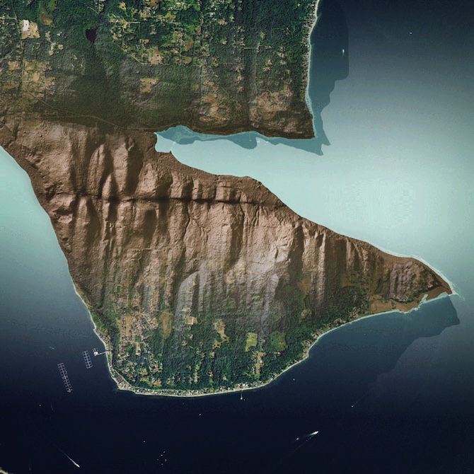
One LIDAR image which has intrigued me is this:-
 |
| The multiple lava flows of West Crater in Gifford Pinchot National Forest are separated into distinct layers.
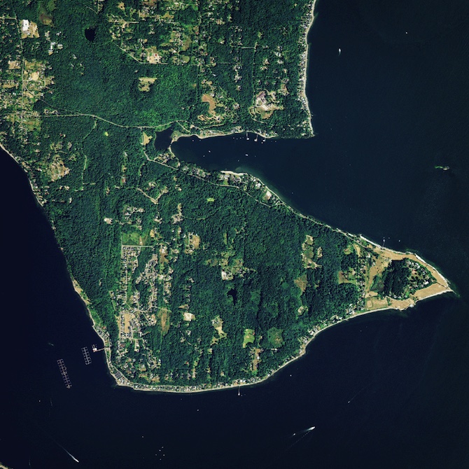
And here is the same area taken from Google Maps.
|
I think LIDAR would make geological mapping rather easier than I remember it being!


