Mapping the Sea Floor
A correspondent has emailed THIS LINK which tells us of the progress being made in mapping the sea floor. So far 19% of the oceans floor has been mapped with a resolution of 100m or better.
There are a host of reasons to map the sea floor, many commercial but also scientific. The article discusses the many ways it is being done. The idea of a fleet of robotic surface vessels sounds very odd but may work well.
Mapping the sea floor is not high profile but will over the years prove to be invaluable.
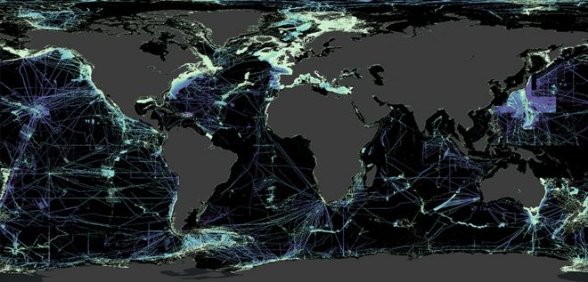
The black (non-continental) areas are where coverage is poor.
No comments:
Post a Comment